I'm on a mission to #hikeallofsf. These are the stories of my hikes.
______________________________________________________
In February, I wrote about my first #hikeallofsf hike, Fort Funston to the Cliff House. Today, I'm writing about a second hike around Fort Funston. This hike explores the area's upper trails.
______________________________________________________
In February, I wrote about my first #hikeallofsf hike, Fort Funston to the Cliff House. Today, I'm writing about a second hike around Fort Funston. This hike explores the area's upper trails.
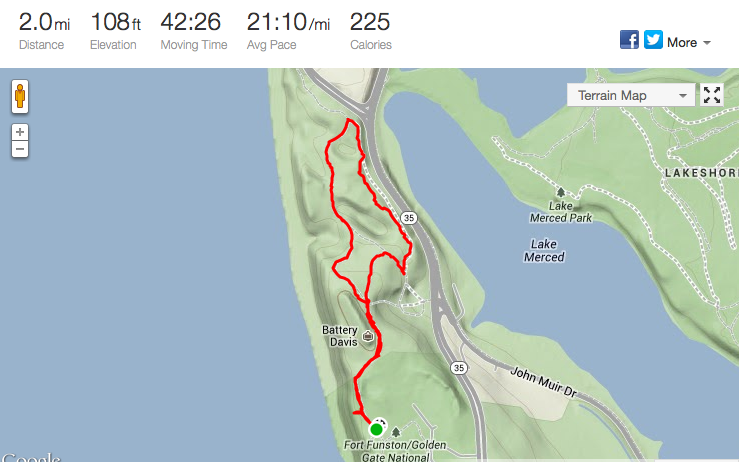
Fort Funston Loop
- Distance: 2.0 miles
- Elevation: ~100 feet
- Difficulty: Easy
- Time: <1 hour
- Dog Friendly: Off-leash walking is permitted
Hike Description
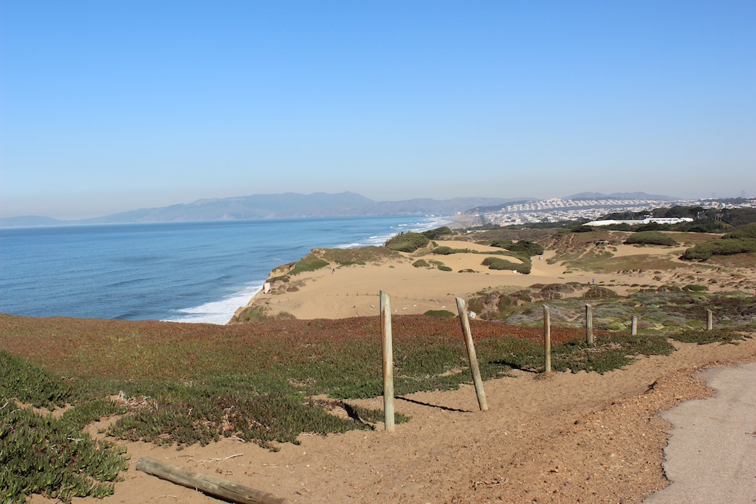 |
| A view of the Ocean from the trails |
This hike is a nice, easy loop that will guide you through a number of Fort Funston’s trails. On a nice day, you get stunning views of the Pacific Ocean to the west and Sutro Tower to the northeast. Even on a foggy day, you can still take in ocean air, and enjoy the sandy landscape littered with ice plants and Monterey cypress trees.
Route Details
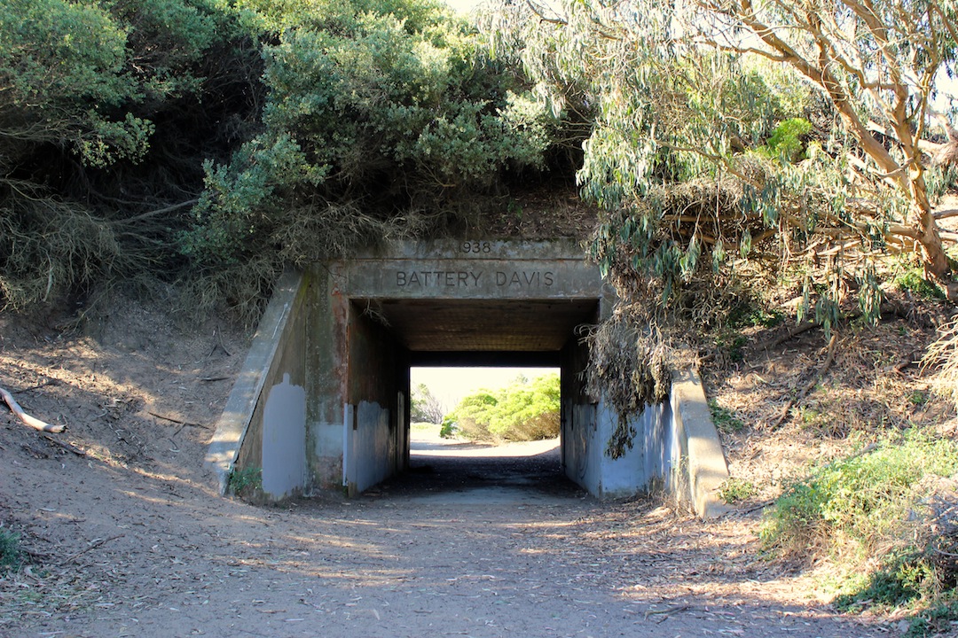 |
| Battery Davis |
To embark on this hike, you will
start on the Sunset Trail, a paved and flat trail that departs from Fort Funston's main parking lot. This trail will pass by Battery Davis, and if you continue straight from there, you will be on the California Coastal Trail. While also paved, sections of this path have disappeared under sand drifts. When you see a habitat restoration area sign, you have reached the Coastal Trail’s junction with the Horse Trail (yes, you can bring horses here!). To complete your loop, take the Horse Trail. At first, you will be walking above US-35/Skyline Boulevard. Then, you will head back into first some covered, wooded areas and then some other sandy areas. Before you know it, you’ll be back at the Fort Funston parking lot.
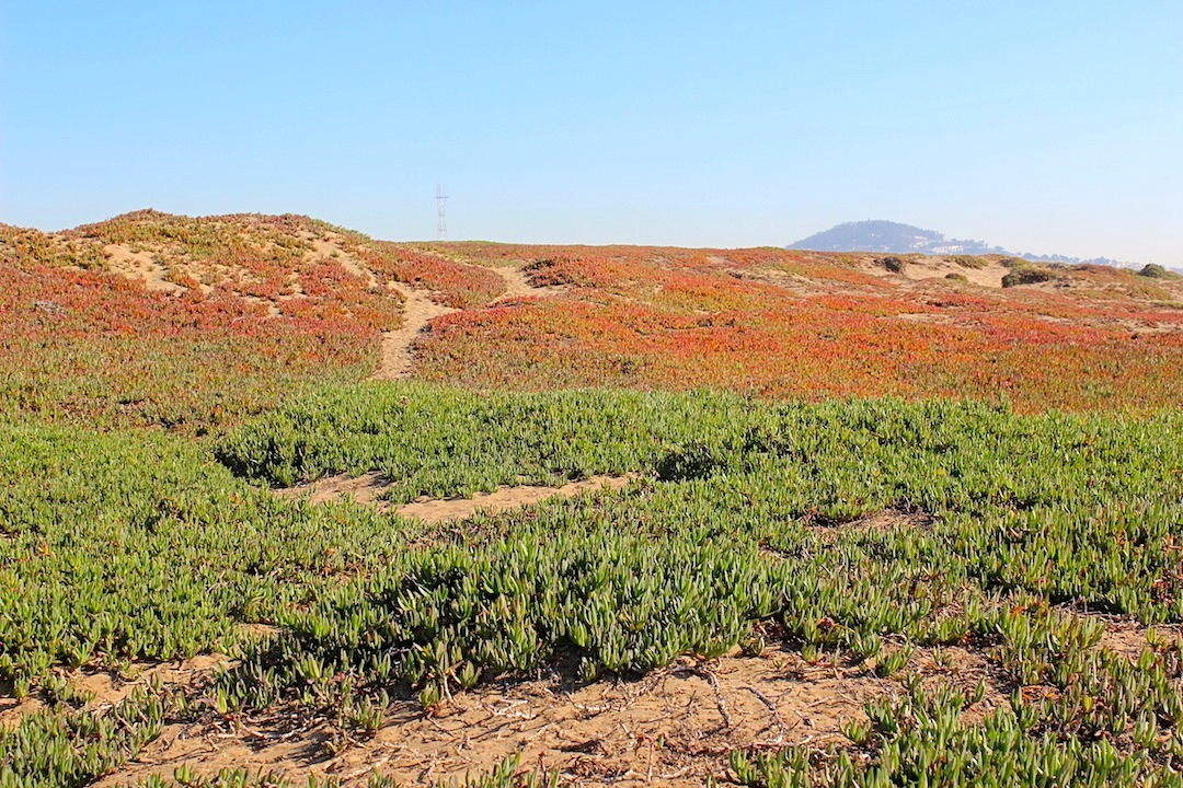 |
| Two colors of ice plans at Fort Funston |
Getting there
- Public Transit: MUNI Bus #18 brings you close to Fort Funston. For MUNI bus information, call 311. Outside San Francisco, call (415) 701-2311.
- Parking: Free parking is available at Fort Funston off Highway 35.
Comments
Post a Comment